


The diggers are in the ground, the pylons are rising, and the landlords are already celebrating. As the project hits 30% completion, we analyze the real estate impact.
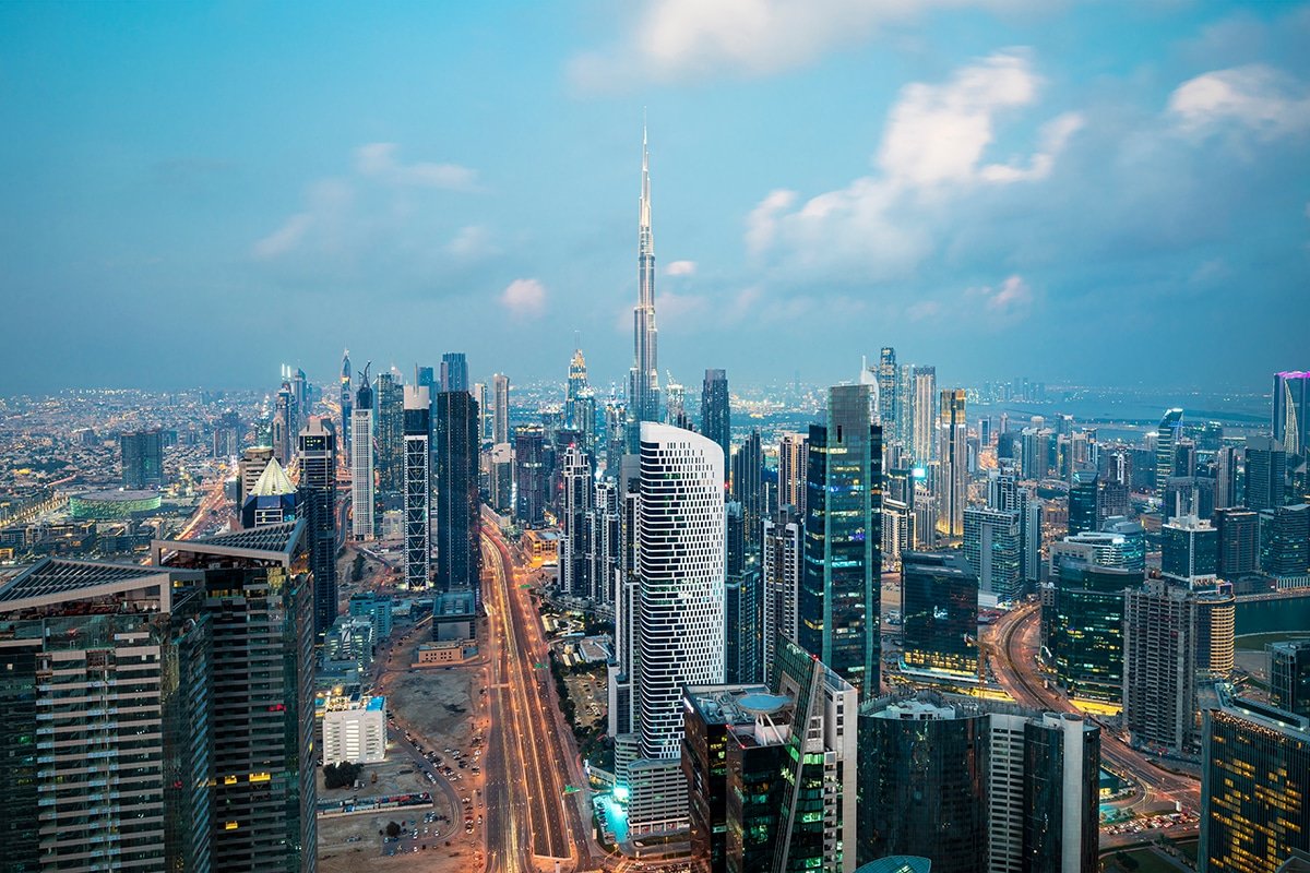
For over a decade, the residential narrative of Dubai was a tale of two cities: the “Connected” and the “Disconnected.”
If you lived along the Sheikh Zayed Road corridor, in Marina, JLT, or Downtown, the Dubai Metro was your lifeline. You were plugged into the Red Line, the city’s aorta, enjoying seamless access to malls, offices, and the airport. But for the hundreds of thousands of residents in the eastern suburban belt, Dubai Silicon Oasis (DSO), International City, Mirdif, and Al Warqa, the reality was starkly different. Connectivity meant buses, private cars, and the inevitable daily gridlock on Sheikh Mohammed Bin Zayed Road (E311).
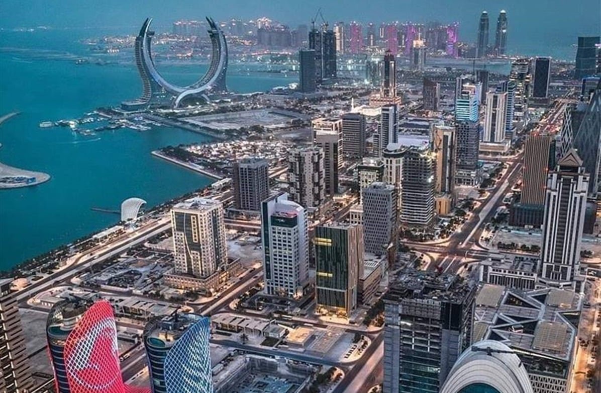
In early 2026, that narrative is being rewritten in concrete and steel.
The Roads and Transport Authority (RTA) confirmed this week that the Dubai Metro Blue Line has officially reached the critical 30% completion milestone. With tunnel boring machines (TBMs) currently active beneath International City and elevated viaducts becoming visible in Mirdif, the project is no longer a distant vision of the Dubai 2040 Urban Master Plan. It is a physical reality that is already pricing itself into the real estate market.
For tenants, investors, and commuters, the Dubai Metro Blue Line map 2026 represents the most significant infrastructure upgrade since the opening of the Metro itself in 2009.
The Route: Connecting the “Other” Dubai
To understand the economic impact, one must first understand the geography. The Blue Line is not merely an extension; it is a strategic “spine” designed to integrate the sprawling eastern communities into the core network.
The project spans 30 kilometers (15.5km underground and 14.5km elevated) and features 14 stations. It is designed as a bifurcated route connecting the existing Red and Green Lines:
- The Northern Limb: Commencing at the existing Centrepoint Station (Red Line) in Rashidiya, this branch sweeps eastward through Mirdif and Al Warqa, diving underground to navigate the dense residential clusters of International City.
- The Southern Limb: Starting at Creek Station (Green Line) in Al Jaddaf, this branch crosses the Dubai Creek via a stunning 1.3km bridge to Dubai Creek Harbour, then proceeds through Ras Al Khor, Dubai Silicon Oasis, and Academic City, finally converging with the northern branch at a massive interchange station in International City.
“This is the missing puzzle piece,” explains Faisal Al-Mulla, a senior urban planner and consultant for smart city projects in the UAE. “The Red Line serves the coast and the financial spine. The Green Line serves the old city. The Blue Line serves the population. It connects the academic hubs, the affordable housing clusters, and the new tech districts to the airport. It effectively kills the necessity of a car for nearly one million residents.”
International City: From ‘Budget’ Hub to ‘Connectivity’ Star
Perhaps the most dramatic transformation is occurring in International City.
Historically, this cluster of country-themed residential districts was prized for one thing: affordability. It was the entry point for residents seeking low rents, often at the cost of traffic congestion and isolation.
In 2026, International City is set to host the largest underground interchange station on the entire Dubai Metro network (Station 1). This hub will cover 44,000 square meters and handle an estimated 350,000 passengers daily once fully operational in 2029.
The real estate market has reacted instantly.
“We have seen asking rents in the International City clusters closest to the future station, specifically the China and England clusters, jump by 15% in Q1 2026 compared to last year,” reveals Sarah Jenkins, a leasing director at Betterhomes. “Landlords are aware of the value. Tenants are locking in long-term contracts now, effectively hedging against the future price hikes that will come when the ribbon is cut.”
Investors who bought studio apartments here in 2023 for AED 280,000 are now seeing valuations north of AED 360,000, driven purely by the “Metro Premium.”
Silicon Oasis: The Tech Hub Finally Gets Its Train
For Dubai Silicon Oasis (DSO), the Blue Line is the final step in its maturation as a global tech hub.
While DSO has successfully attracted major headquarters and startups, its lack of rail connectivity was a frequent complaint from the younger, car-less tech workforce it aims to attract. The Blue Line runs elevated through the heart of DSO, offering futuristic views of the technology park.
Crucially, the line serves Dubai Academic City, home to over 27,000 students across various universities. Currently, university transport relies heavily on a fleet of private buses that clog the roads each morning.
“By 2029, a student living in Bur Dubai or Deira can commute directly to their lecture hall in Academic City in under 35 minutes,” notes Al-Mulla. “This changes the demographics of the area. We expect to see a surge in purpose-built student accommodation (PBSA) developments along the Blue Line route in 2026 and 2027.”
Read More: Dubai Flying Taxi Launch 2026: Route Maps & Ticket Prices
The “Iconic” Station: Emaar’s New Landmark
While function is key, Dubai never ignores form. A standout feature of the project is the station at Dubai Creek Harbour.
Designed by world-renowned architects, it will be the first “bridge station” in the region, suspended over the water. In 2026, the piling work for this architectural marvel is already visible from the Ras Al Khor Wildlife Sanctuary.
This station serves the ultra-luxury residential towers of Creek Harbour. Real estate experts predict that the “Blue Line Connectivity” will be the catalyst that finally pushes Creek Harbour prices to parity with Downtown Dubai. It bridges the psychological gap between the “Island District” and the mainland.
The Construction Timeline: What to Expect
The RTA has maintained a strict timeline for the AED 18 billion project:
- 2024: Foundation works and utility diversions began.
- 2026 (Current Status): 30% Completion. Tunnels in International City are being bored; viaduct pillars are rising in Mirdif.
- 2027: Viaducts and elevated tracks will be fully visible; station structures will top out.
- 2028: Systems testing and rolling stock trials.
- 2029: Full commercial operation.
Residents in Mirdif and Al Warqa are currently experiencing the necessary disruption of construction, road diversions and noise. However, community sentiment remains high.
“It’s noisy, yes,” admits Rahul, a resident of Mirdif for eight years. “But seeing those pillars go up is reassuring. It means my property value is going up with them. I’m willing to tolerate the dust for the gain.”
Read More: UAE AI Curriculum Schools 2026: The Education Revolution Begins
The “Green” Impact
Beyond real estate, the Blue Line is a cornerstone of the UAE’s Net Zero 2050 strategy. By shifting an estimated 320,000 passengers per day from cars to electric rail, the project is expected to reduce carbon emissions significantly.
It also integrates with the new “Last Mile” mobility strategies, including the autonomous pods and scooter networks being piloted in DSO.
The New Map of Value
For the savvy investor or resident in 2026, the Dubai Metro Blue Line map is more than a transit diagram; it is a treasure map.
The “affordable” belt of Dubai is getting a premium upgrade. The gap between the “haves” (Red Line) and the “have-nots” (East Dubai) is closing. As the diggers continue their work through 2026, the smart money is following the tracks. The noise of construction is temporary, but the capital appreciation is permanent.